
Drone imagery for building surveyors and property owners
Aerial Motion Photography is run by Sully, a chartered building surveyor and CAA-qualified drone pilot. I capture clear, organised imagery of roofs, elevations and hard-to-reach areas for surveyors, property managers and homeowners, covered first time and delivered within 48 hours.
Areas covered: Greater Manchester · Yorkshire · Merseyside
CAA-qualified, insured, Manchester-based
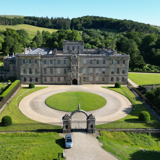
Professional Drone Services in Manchester
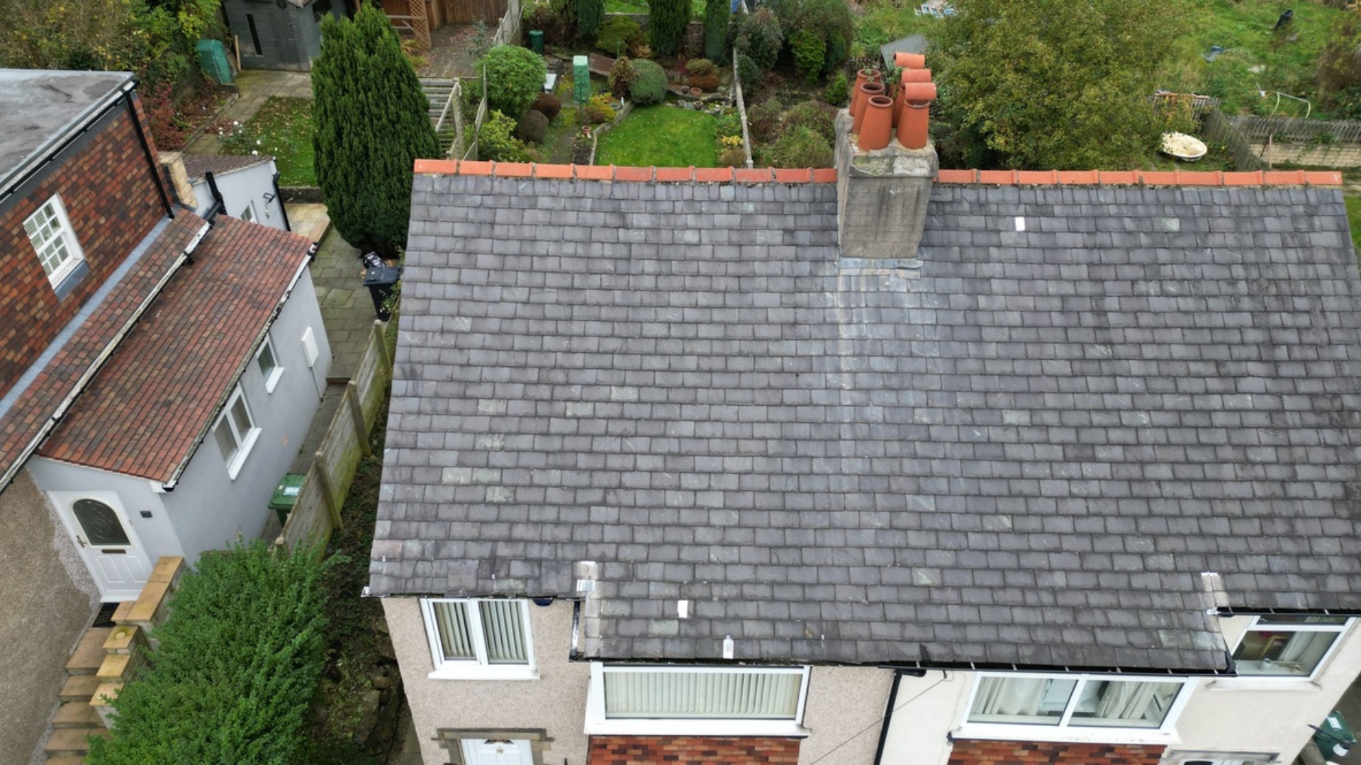
Drone Roof Surveys Manchester
We provide high-resolution drone imagery of roofs and gutters, giving homeowners and property professionals the actionable data they need to monitor condition, plan maintenance, and protect their property – without the need for costly scaffolding, or unsafe ladders.
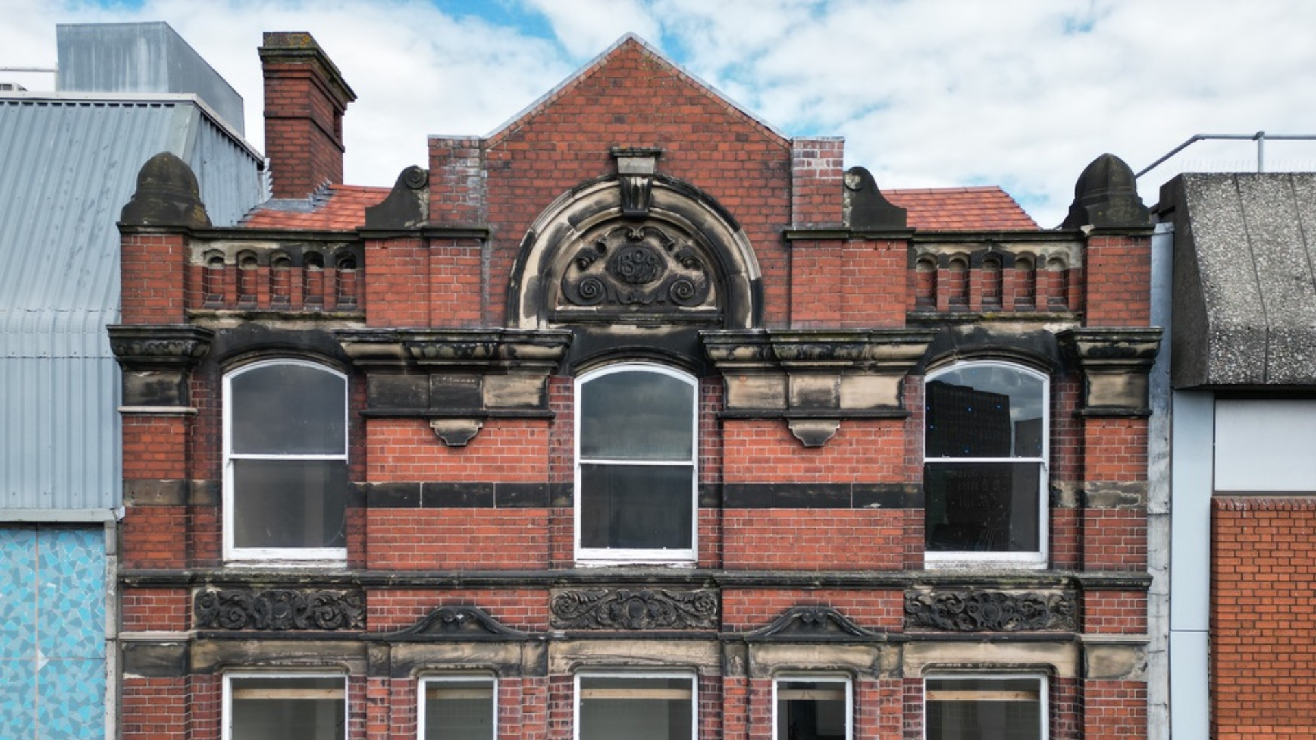
Facade Inspection Solutions
We offer drone inspections of walls, cladding, and external elevations, providing clear visuals for homeowners, surveyors and property managers to detect issues, plan repairs, and make informed property decisions safely and efficiently.
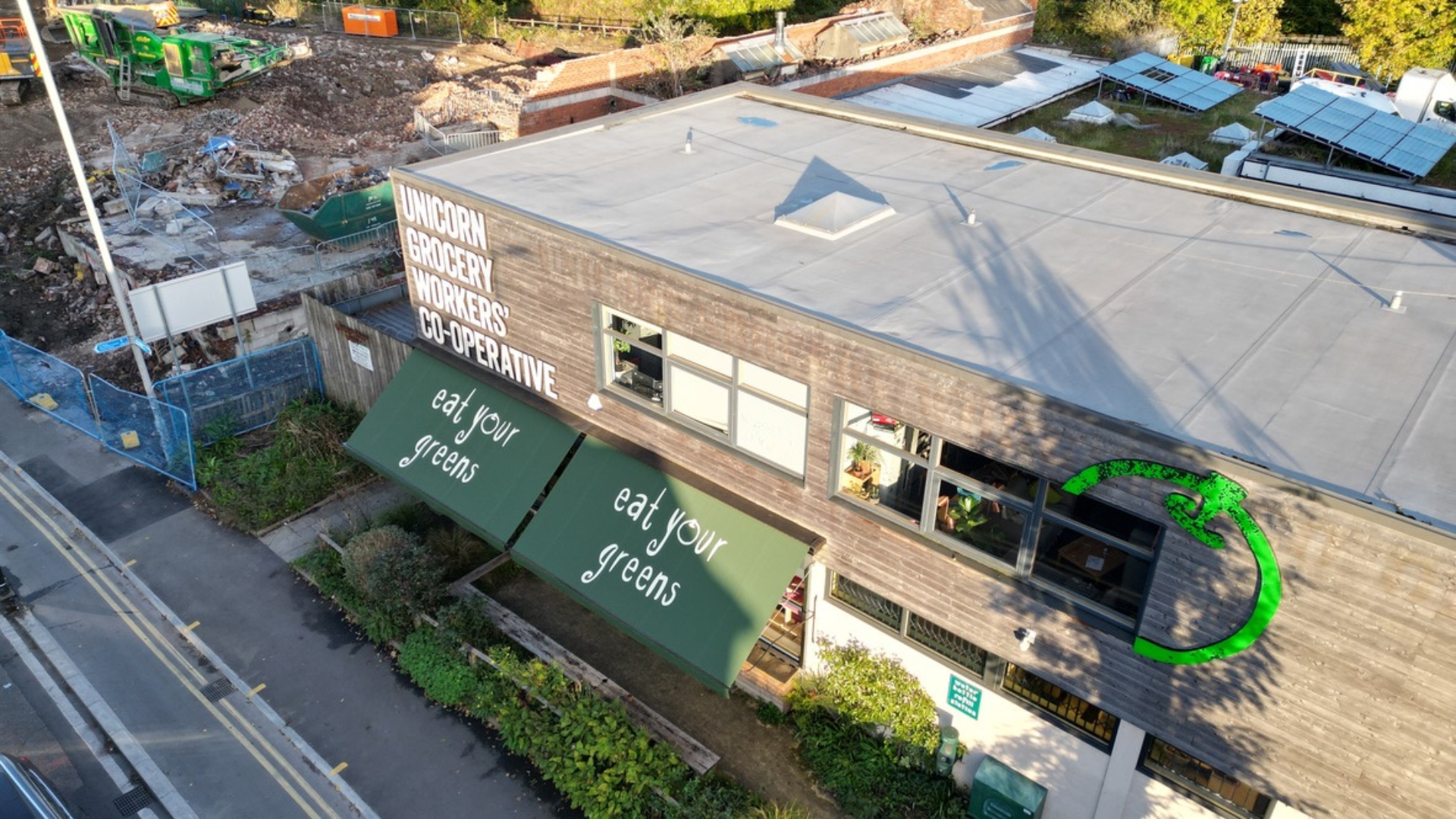
Safe Access Inspections
Drone inspections for areas that are restricted, unsafe or difficult to access such as boundaries, tenant controlled areas, or high risk locations. Ideal for home owners and property professionals who need clear imagery to complete audits, inspections or maintenance planning without risk or disruption.
Ready to book?
Clear, organised drone imagery of roofs, elevations and hard-to-reach areas, delivered within 48 hours. Whether you’re a surveyor, property manager or homeowner, I’ll capture what you need first time.
Our Inspection Process
How Drone Inspections Work
1
Step 1: Consultation and Briefing
We begin by discussing your inspection needs and creating a detailed brief, ensuring every critical area is captured and nothing is overlooked.
2
Step 2: Planning and Execution
Our CAA qualified, fully insured drone pilots carefully plan and fly each inspection with precision, capturing high quality imagery for a complete view.
3
Step 3: Data Delivery
We deliver clear, actionable imagery and footage via Dropbox, giving you a secure link to access and review your inspection data anytime.
Areas Covered
Across Greater Manchester & Beyond
Greater Manchester
We provide expert services throughout Greater Manchester, supporting both residential and commercial clients across the region.
Yorkshire
Our services extend across Yorkshire, delivering high-quality, reliable solutions tailored to a wide range of client needs.
Merseyside
We proudly serve clients across Merseyside, offering professional and dependable services with a strong focus on quality and safety.
Industries
Solutions For Every Role
Building Surveyors
Capture roofs, facades, and hard-to-reach areas. Get accurate, detailed imagery for your reports.
Construction Professionals
Monitor progress. Check structures. Reduce the need for risky site access.
Engineering Consultants
Access precise visual data. Support surveys and inspections. Avoid site disruption.
Property Managers
Stay on top of maintenance and compliance. Make informed property decisions.
Asset Managers
Monitor property condition. Support investment decisions with clear, reliable data.
Building Owners & Homeowners
Understand your property quickly. Spot issues before they become costly problems. Plan maintenance and improvements with confidence.
Facility Managers
Identify potential issues early. Improve safety and efficiency across your site.
Real Estate Developers
Track construction progress. Monitor site conditions. Plan and report with confidence.
FAQ
Frequently Asked Questions About Drone Services in Manchester
How much does a drone survey cost in Manchester?
The cost varies based on the size of the survey area, the type of survey, and the specific requirements of the project. Contact us for a bespoke quote.
Do you need permission to fly a drone in Manchester?
Yes, we obtain all necessary permissions and adhere to the regulations set by the Civil Aviation Authority (CAA) to ensure safe and legal drone operations.
What areas do you cover for drone photography?
We provide our services across the following areas: Greater Manchester, Yorkshire, and Merseyside.
Are your drone pilots CAA licensed and insured?
If you have any further questions, please do not hesitate to contact us directly or speak with our support team. We are here to assist you with all your drone surveying requirements.
Need imagery for your next inspection?
Get Free Quote
Tell me about the property and what you need, and I’ll come back with a quote.
Service clarification
Disclaimer
Aerial Motion Photography provides specialist drone-based visual inspection services, delivering high-quality imagery for building assessments.
Our services are strictly limited to data collection and do not include professional advice, interpretation, or formal surveying. All imagery and data are provided for informational purposes only and should not be relied upon as a substitute for professional guidance.
Our drone operations comply fully with CAA regulations and are covered by comprehensive insurance.